


Powerful storm set to hit county with intensity by Tuesday
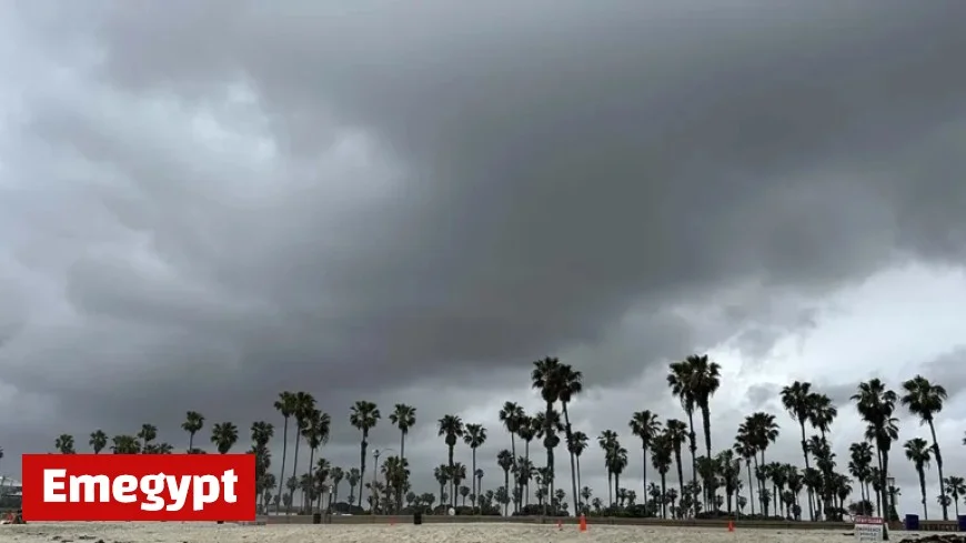
A powerful storm is set to impact San Diego County with intensity by Tuesday, according to forecasts. The National Weather Service (NWS) has indicated a low-pressure system moving southward along the West Coast. This system will usher in stronger onshore winds and showers from the coast to the mountains starting Monday night.
Weather Conditions to Expect
Forecasters anticipate colder air accompanying the storm, bringing showers and potentially heralding the season’s first high-elevation snow. Snow levels are expected to remain above 7,000 feet, with minor accumulations possible at resort levels. Big Bear Lake may even see a light dusting of snow.
Wind and Temperature Forecasts
- Mountain and desert areas will experience gusty winds, ranging from 30 to 40 mph.
- Wind speeds may exceed 55 mph in prone passes and slopes.
- Choppy seas with winds reaching 20 to 25 knots are anticipated from Tuesday morning through evening.
- Downtown San Diego will see temperatures drop to a high of 68 degrees on Tuesday.
Rainfall is expected to begin on Monday night and continue through Tuesday night, bringing a cooling effect to the region. However, by Wednesday night, rainfall is projected to cease, with temperatures beginning to warm gradually.
Weekend Outlook
Looking ahead to the weekend, a warming trend is expected inland, while clouds and fog from the marine layer are predicted to return to coastal areas. Following the storm, the weather will become much more benign, leading to a gradual return to seasonably cool temperatures by late in the week, according to the NWS.
Stay informed on weather updates through Emegypt to ensure preparedness during this intense weather system.


