Winter weather warnings today: Sierra snow, Northern Rockies hazards, and Prairie whiteouts as an early-season pattern sharpens
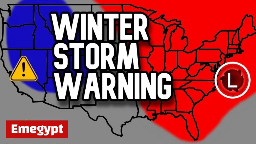
A fast-developing cold-season pattern has flipped parts of North America from fall to near-winter in the last 24 hours, prompting fresh winter weather warnings from the Sierra Nevada to the Northern Rockies and stretches of the Canadian Prairies. While not a regionwide blizzard, the setup features multiple overlapping hazards—heavy mountain snow, strong winds, and sharp temperature drops—that will disrupt travel on key passes and expose early-season vulnerabilities in power and road networks.
Sierra and Interior West: feet of snow at pass level
A vigorous Pacific storm is slamming into California and the Great Basin, delivering the first widespread Sierra snow of the season. Snow levels have tumbled quickly with the frontal passage; chain controls and intermittent closures are likely along high-elevation corridors such as I-80 over Donner Summit and US-50 over Echo Summit. Forecast totals of 1–3 feet on the highest peaks are paired with gusty ridge-top winds, creating blowing snow and near-zero visibility during bursts. Farther inland, the same wave is spinning snow into the central and northern Rockies, with travel impacts spreading across Wyoming, Idaho, and Utah’s high terrain through tonight.
Why it matters now: Early storms catch drivers—and road crews—between seasons. Expect longer response times for plows, reduced traction from leaf-clogged drains at lower elevations, and a higher rate of spinouts during the first snowy commute of autumn.
Northern Rockies & High Plains: warnings, watches, and dangerous wind chills
Cold air spilling south behind the Pacific system is wringing out heavy snow bands across parts of Montana and northern Wyoming. Localized totals are sufficient for Winter Storm Warnings in favored upslope zones, while adjacent counties sit under Winter Weather Advisories for slick roads and bursts of heavy snow. As the pressure gradient tightens, 40–55 mph gusts are likely on open prairie, producing ground blizzarding in exposed stretches—even where accumulations are modest. Rural power interruptions are possible where wet snow clings to early-season foliage.
Travel hotspots: Look for difficult conditions on mountain passes along US-2 and US-12, I-90 over higher terrain, and secondary county roads where plow coverage is sparse after dark.
Canadian Prairies: snowfall warnings and blowing snow risks
Environment Canada has issued snowfall warnings across pockets of Saskatchewan and neighboring provinces as a swath of moisture overlaps falling temperatures. Totals in warned zones can push 15–30 cm, with blowing snow reducing visibility below 400 m at times on open highways. This is a classic first-event trap: temperatures hover near freezing, so compaction and slush quickly re-freeze after sunset, creating black ice on bridges and ramps.
Commuter takeaway: If you haven’t swapped to winter tires, reduce speeds and avoid cruise control. Rural travel after dark will be more hazardous than conditions suggest at midday.
East Coast & Alaska: coastal hazards and high-latitude extremes
While snow is not the dominant story along the Atlantic seaboard today, a strong coastal storm is still driving coastal flooding, beach erosion, and power-line-toppling gusts from the Carolinas through New England. Farther north and west, western Alaska is dealing with the aftermath of a powerful Bering Sea system that battered coastal communities—an early reminder that high-latitude cold-season hazards can arrive abruptly and with destructive force.
Decoding the alerts: what each headline really means
Not all winter alerts imply the same level of risk. Here’s the quick field guide used by forecasters across North America:
-
Winter Storm Warning: Hazardous wintry weather is imminent or occurring with high confidence—heavy snow and/or ice will make travel dangerous.
-
Winter Weather Advisory: Lower-end impacts are expected—slick roads, bursts of snow, reduced visibility—requiring caution but not necessarily closures.
-
Blizzard Warning: Frequent gusts ≥35 mph and visibility ≤¼ mile for 3+ hours, regardless of snowfall totals; whiteout conditions are the primary threat.
-
Ice Storm Warning/Freezing Rain Warning: Significant glaze accumulation likely; tree and power-line damage is a major concern even with minimal snow.
-
Wind Chill Advisory/Warning: Dangerous “feels-like” temperatures; frostbite risk rises sharply in minutes when winds increase.
How to prepare if you’re in the path
-
Shift travel windows around the heaviest bands; aim for midday when crews catch up and temperatures are marginally higher.
-
Winterize the vehicle now: tires, wiper fluid, scraper, emergency kit with blankets and a charger.
-
Mind microclimates: canyon bottoms and bridge decks ice first; mountain passes can flip from wet to white in a single mile.
-
Plan for outages: wet, sticky snow plus wind means branches down—charge devices and keep flashlights and batteries accessible.
The bigger pattern signal
This week’s sequence checks a familiar cold-season box: a robust Pacific jet delivers moisture, a trailing trough taps colder air, and elevation and exposure determine where rain flips to disruptive snow. It’s a shoulder-season sampler—not the main event—but it sets the tone. With ground still warm and leaves lingering, today’s winter weather warnings are as much about timing and readiness as they are about totals. If you’re seeing your first flakes, it’s the right moment to treat winter as officially on the clock.
