


Interactive Map Reveals Impact of San Francisco Bay Area Earthquake
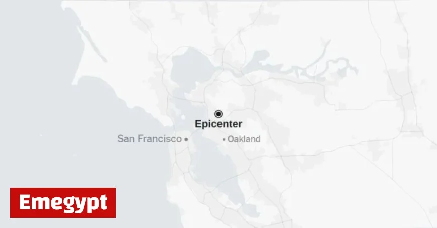
A minor earthquake with a magnitude of 3.1 jolted the San Francisco Bay Area on Thursday morning. The United States Geological Survey (U.S.G.S.) reported that the quake occurred at 9:23 a.m. Pacific time, about one mile east of Berkeley, California. Notably, this tremor took place just before the International ShakeOut Day exercise, an annual event aimed at preparing individuals for earthquake emergencies.
Interactive Map Reveals Impact of San Francisco Bay Area Earthquake
Details of the Earthquake
The U.S.G.S. classified the shaking intensity as “weak,” although the tremors could be felt beyond the immediate area shown on their map. Participants in California’s earthquake drill exceeded 10 million, as citizens practiced safety procedures. This public drill happens annually on the third Thursday of October.
Historical Context and Anniversaries
Interestingly, this quake preceded the anniversary of the 1989 Loma Prieta earthquake. That memorable event was a 6.9-magnitude disaster occurring on October 17, which resulted in 63 deaths and significant destruction across the region, including failure of the San Francisco-Oakland Bay Bridge.
Potential Aftershocks and Seismic Activity
Seismologists caution that aftershocks, typically smaller seismic events following the main quake, may occur. These can continue for days, weeks, or even years within the region impacted by the original tremor. Often, aftershocks involve minor fault adjustments, but they can potentially match or exceed the initial quake’s magnitude.
Monitoring and Data Analysis
Scientists from the U.S.G.S. continue to gather and analyze data from the quake. This information could lead to adjustments in the reported magnitude or updates to the seismic intensity maps. Both quake and aftershock data are assessed within 100 miles and over seven days from the initial quake.
- Magnitude: 3.1
- Location: 1 mile east of Berkeley, CA
- Time: 9:23 a.m. Pacific time
- Date: October 16
- Related Event: International ShakeOut Day
- Historical Reference: 1989 Loma Prieta Earthquake
As maps and related data are updated, the region remains on alert, with ongoing monitoring by geologists and seismologists. The community continues to practice readiness for potential seismic events as a part of their annual drills and daily preparedness strategies.


