


Sydney braces for thunder and hail following a warm Friday morning start
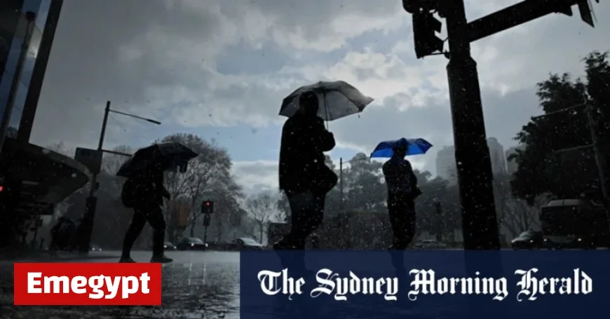
Sydney is bracing for severe thunderstorms and heavy rain, predicted to impact the city and the New South Wales (NSW) coast on Friday afternoon. This weather system follows a warm start to the day, with temperatures reaching 32 degrees Celsius in the Sydney Central Business District and 34 degrees in the western suburbs. The forecast signals a significant change after lunchtime.
Sydney’s Weather Forecast: Thunderstorms Ahead
The Bureau of Meteorology predicts that heavy rainfall and hail will likely arrive in Sydney by around 3 PM. Senior meteorologist Angus Hines has described the day as “very active” for NSW. It is anticipated that temperature drops could reach up to 10 degrees within just 30 minutes.
Storm Details and Potential Impacts
As the storms develop, damaging wind gusts could peak at 90 km/h. These high winds pose risks of property damage and potential power outages across the region. Coastal areas, particularly from Wollongong to Port Macquarie, are under heightened threat from the incoming storm system.
- Hail Risk: Potential for large hailstones exceeding two centimeters, which could damage crops, vehicles, and structures.
- Wind Gusts: Expected to exceed 90 km/h, posing risks to property and possibly causing disruptions.
- Aftermath: Some residual storm activity is expected along the coast into Saturday, transitioning to northern NSW and southeastern Queensland over the weekend.
Sydney residents should prepare for the impending stormy conditions. With a warm Friday morning setting the stage, the shift to severe weather is a contrast that has many on alert. Stay tuned for updates as the situation develops. Emegypt will provide further information as new forecasts become available.


