


Kansas City Faces Intense Overnight Thunderstorm Alert until 3 AM Saturday
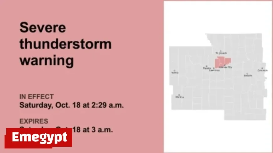
An intense thunderstorm warning has been issued for Kansas City and its surrounding areas. The National Weather Service (NWS) released this alert late on Saturday at 2:42 a.m., with an expiration time set for 3 a.m. This warning covers Clay and Platte counties, highlighting potential threats of quarter-sized hail and wind gusts reaching up to 60 mph.
Severe Thunderstorm Impact
The storm was identified over Weatherby Lake at 2:42 a.m., moving east at a speed of 40 mph. The severe weather poses hazards such as hail that could damage vehicles and strong winds that might compromise roofs, siding, and trees.
Locations at Risk
- Kansas City
- Gladstone
- Lansing
- Smithville
- Parkville
- Platte City
- Riverside
- Weatherby Lake
- Kansas City International Airport
- Lake Waukomis
- Ferrelview
- Platte Woods
- Oakview
- Northmoor
- Houston Lake
- Farley
- Oakwood Park
- Oakwood
- Oaks
- Waldron
Key Highways Affected
- Interstate 29 (mile markers 1-19)
- Interstate 635 (mile markers 9-12)
- Interstate 435 (mile markers 21-42)
Residents in these areas should take precautionary measures by moving to an interior room on the lowest floor of a building.
Lightning Safety During Thunderstorms
Each year, there are 25 million lightning strikes in the United States, leading to an average of 20 fatalities. The threat of lightning is highest when a thunderstorm approaches but decreases as it moves away.
Safety Tips
- Have an emergency plan for outdoor safety.
- Seek shelter indoors when thunder is audible.
- Avoid corded phones, electrical equipment, plumbing, windows, and doors after seeking shelter.
- Stay indoors at least 30 minutes post-storm.
Guidelines for Driving in Rain
Driving in rain requires caution due to the unique challenges it presents. Here are some safety measures to consider:
Important Measures
- Use headlights, even during daylight.
- Stay in middle lanes and on higher ground to minimize water buildup.
- Avoid large puddles to prevent hydroplaning.
- Maintain a safe distance from large vehicles.
- Turn around if roads are flooded.
Understanding Hydroplaning
Hydroplaning occurs when a vehicle skids on wet roads due to water buildup beneath the tires, lifting it onto a thin water layer.
Causes of Hydroplaning
- Vehicle Speed: High speeds can reduce tire traction.
- Water Depth: Even shallow water can lead to traction loss.
- Tire Tread Depth: Ensure adequate tread for better grip.
What to Do
- Release the accelerator to slow down smoothly.
- Turn into the skid to regain control.
- Wait for tire-road connection and steer cautiously.
- Brake gently and use anti-lock brakes if available.
This information was obtained from the National Weather Service. Stay updated and safe with reliable sources like Emegypt.


