Weekend storm timeline for Houston: What to expect
Scattered showers have emerged across Southeast Texas after weeks of dry conditions. These showers mostly bring light rain with no significant disruptions expected. The radar shows the extent of these showers currently affecting the region.
Friday night will retain its summer feel with warm temperatures and humidity. Short downpours from the coast will diminish by 6 PM, ensuring a pleasant evening for outdoor plans, including football games.
Weekend Storm Timeline for Houston: What to Expect
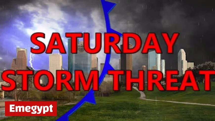
This weekend, Houston faces a storm threat, particularly northeast of the city. The primary concern involves damaging winds.
Saturday’s Weather Outlook
- Morning: Light rain showers will occur near the coast beginning early Saturday without causing disruptions.
- Afternoon: The showers will move inland, possibly developing into thunderstorms by 2 PM. These diurnal storms flourish in the afternoon heat.
- Evening: By 5 PM, stronger storms with significant lightning and heavy rain may impact areas northeast of Houston, posing wind threats.
- Late Evening to Night: A cold front arrives, ushering storms from northwest to southeast starting around 9 PM in areas like Huntsville and Tomball. Houston should brace for these conditions around 11 PM, bringing rain, lightning, and strong winds.
Despite the cold front, temperatures aren’t expected to drop significantly. However, the storms will signal an early start to Sunday, as the front is forecasted to clear the coast by 2 AM.
Sunday and Beyond
Once the cold front passes, Sunday promises dry weather. However, an elevated risk of fire persists across Southeast Texas. Many counties have implemented burn bans, urging residents to exercise caution with activities that could cause sparks.
Forecasting remains uncertain, and timing may adjust as the cold front could accelerate. Residents are advised to monitor weather updates for any changes.
Extended Forecast
| Date | Weather Event |
|---|---|
| Saturday | Storms move through with a cold front. |
| Sunday | Dry weather post-storm. |
| Tuesday | New cold front arrives, shifting winds. |
| End of Next Week | A final cold front may drop temperatures to mid-80s. |
Stay informed about any weather changes and report significant weather phenomena to Emegypt. Follow weather updates closely as predictions may still shift.
