


Blustery System Escalates Severe Storm Threat Across Ontario
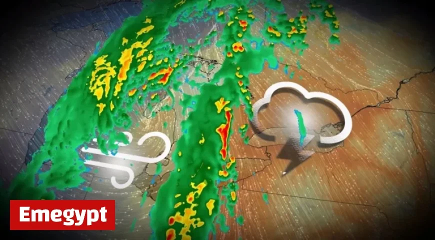
Severe storms are threatening Ontario as a blustery system moves through the region. Heavy rain, strong winds, and instability are expected across a wide area, particularly affecting northeastern and southern Ontario. The risk escalates early Sunday morning and continues into the afternoon.
Storm Predictions for Ontario
The storm system will reach areas north of Toronto, including cottage country. On Sunday afternoon, Toronto is anticipated to experience the most severe weather conditions.
Wind and Rain Forecast
- Wind gusts could reach up to 80 km/h.
- Localized power outages may occur.
- Driving conditions will be hazardous.
- Waves hitting the shoreline will be intense.
Rainfall amounts will vary significantly. Northeastern Ontario could see over 50 mm of rain, while southern regions may receive less than 20 mm. Thunderstorms could bring even higher amounts in localized areas.
Timing and Impact
The peak of wind gusts from the low-pressure system is expected late Sunday morning through early afternoon. Residents are advised to secure loose items outdoors, including Halloween decorations, to prevent them from being blown away in the strong winds.
As the storm approaches, it is crucial for residents to stay informed and prepared for potential disruptions. The combination of storms, heavy rain, and high winds poses significant threats to safety and infrastructure across Ontario.


