


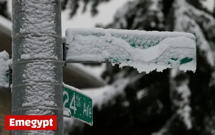
Prepare for heavy snowfall with eight inches expected in new winter weather alert
The National Weather Service (NWS) has released winter weather advisories across Washington State, highlighting severe conditions anticipated in various mountain regions. The warnings aim to prepare the public for hazardous travel conditions due to expected snowfall.
Snowfall Expectations and Travel Risks
Cold weather alerts are particularly significant for travelers and residents in the impacted areas. The NWS foresees total snow accumulations ranging from 4 to 8 inches in high-elevation locations above 4,500 feet. This situation poses travel difficulties, slippery roads, and increased hazards both for motorists and outdoor enthusiasts.
Key Details of the Advisories
- Areas Affected: Advisories are in effect for the Cascades of Whatcom and Skagit Counties, including Mount Baker.
- Timing: The advisories started at 11:00 p.m. PDT on Saturday and will continue until 11:00 p.m. on Sunday.
- Okanogan County: An additional advisory covers Western Okanogan County, predicting similar snowfall, with alerts extending to altitudes above 4,000 feet.
Safety Precautions for Travelers
The Seattle and Spokane NWS offices have urged travelers to exercise caution. Both advisories caution that bridges and overpasses may become particularly slick, and travel could be very difficult.
Recommended Actions
- Plan travels carefully, especially if heading to backcountry areas.
- Monitor updates from the NWS and Washington State Department of Transportation (WSDOT).
- Prepare vehicles for winter conditions and allow extra travel time.
As the winter weather advisories remain in effect through October 19, it is critical for motorists and outdoor enthusiasts to stay informed and prepared for the snowy conditions ahead.


