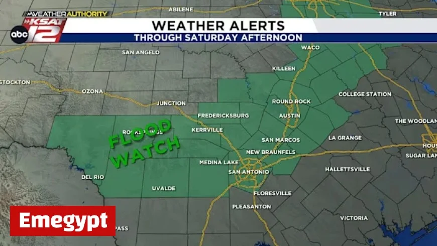
Storm Timeline Unfolds Tonight

The storm timeline unfolds tonight, bringing with it significant weather concerns through Saturday morning. Residents should prepare for heavy rain, lightning, and gusty winds beginning at midnight.
Storms Expected Overnight
From 12 AM to 9 AM on Saturday, storms are likely to intensify. Some of these could be strong or severe, with potential threats including:
- Street flooding
- Localized hail
- Gusty winds
- Possibility of a tornado near Canyon Lake
Weather Forecast for Saturday
After the overnight storms, a brief respite is anticipated, followed by a potential resurgence of scattered storms in the afternoon. Meteorologists emphasize the unpredictability of where hail may fall, making it crucial for those with outdoor plans to stay alert.
Upcoming Weather Changes
Moving into next week, cooler temperatures are expected. By midweek, morning temperatures may drop to the 50s, with afternoon highs reaching the 70s. This change signifies the arrival of fall weather in the San Antonio area.
Stay Informed
Residents are urged to stay updated on weather developments and exercise caution during the storm timeline. Keeping an eye on live radar can help inform decisions throughout the night and into the weekend.


