


Florida Weekend: Warm Weather Precedes Major Cooldown – Timeline Inside
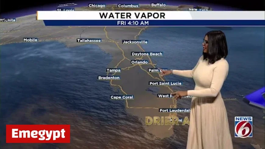
Central Florida is experiencing a transitional weather pattern as temperatures drop significantly. On Friday morning, temperatures were noticeably cooler, by about 5 to 10 degrees compared to Thursday. A light jacket was advisable for early risers. Nevertheless, afternoon highs are expected to hit the 80s.
Upcoming Cooler Weather
A strong cold front is anticipated to arrive next Thursday. This will bring the coldest temperatures of the season, with morning lows on Halloween predicted to range from the 40s to the 50s. Daytime highs on the Friday following Halloween will hover around the 70s.
Halloween Forecast
This front will create a stark contrast to the recent warmth, leading to a chilly environment for trick-or-treaters. Parents should prepare for the cooler conditions as they accompany their children on Halloween.
Weekend Weather Outlook
Before the significant cooldown, Central Florida’s weekend looks warm and slightly humid. Afternoon highs will stay in the low to mid-80s until Sunday, while mostly sunny skies are expected Saturday. However, breezy conditions will persist, with winds from the northeast at 10 to 15 mph, and coastal gusts reaching 20 to 25 mph.
Beach Safety
- The risk of rip currents remains high through Sunday night.
- A 20% chance of isolated showers exists early Sunday morning, primarily south and east of the I-4 corridor.
- Spotty showers may continue into the afternoon, though substantial rainfall is not anticipated.
Tropical Storm Melissa
While local weather changes are underway, Tropical Storm Melissa is being closely monitored in the Caribbean. As of Friday at 5 a.m., the storm had sustained winds of 45 mph and was stationary.
Predictions indicate that Melissa may slowly intensify and reach hurricane status by Saturday afternoon, with wind speeds possibly increasing to 75 mph. By Monday morning, it could develop into a Category 4 hurricane, with winds potentially reaching 145 mph.
Areas including Jamaica, Hispaniola, and Cuba are likely to experience heavy rainfall and strong winds as the storm progresses.


