


Cold Front Sweeps In Showers and Cooler Temperatures
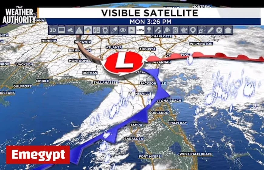
As a cold front approaches, residents can expect a significant drop in temperatures and potential showers. This weather change is attributed to a low-pressure system moving northward.
Weather Forecast Overview
Overnight and early Tuesday morning, showers and isolated thunderstorms are likely. Tonight’s forecast indicates mostly cloudy skies, with rain expected to linger until around 7 AM in southeast Georgia.
Tuesday’s Conditions
Temperatures will begin in the 50s and 60s, with afternoon highs only reaching the 60s to mid-70s. Winds will be coming from the northwest at 5 to 10 mph, contributing to the cooler feel throughout the day.
Upcoming Cold Front
On Wednesday, another cold front will sweep through the area. This front may bring a slight chance of showers, primarily affecting southeast Georgia. Temperatures will fall further, with lows still in the 50s and 60s and highs similar to Tuesday’s.
Halloween Weather
By Thursday, Halloween, clear and sunny skies are expected during the day. However, temperatures will remain on the cooler side, marking a return to more typical fall weather.
Tropical Updates
Meanwhile, Hurricane Melissa has intensified to a Category 5 storm, moving west-northwest. Jamaica is facing life-threatening winds, flooding, and storm surges due to this powerful hurricane.
- Tonight: Cloudy with showers possible.
- Tuesday: Highs reaching 60s to mid-70s; slight chance of morning showers.
- Wednesday: Another cold front; lows in the 50s and 60s.
- Thursday (Halloween): Sunny skies, cooler fall temperatures.
Note important sunrise and sunset times: sunrise at 7:36 AM and sunset at 6:46 PM.


