


Severe Weather Alert: Rain and Wind Pose Significant Threat
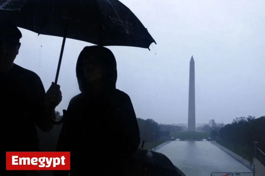
Residents in the Washington, D.C. area are facing a significant weather event as heavy rain and gusty winds are forecasted to impact the region. Starting Thursday, a powerful weather system is moving in from the south and west, leading to potential downpours, isolated thunderstorms, and wind gusts.
Severe Weather Alert: Rain and Wind Updates
According to forecasters, while the severe weather threat is low, the conditions could still result in downed tree limbs and power outages due to strong winds and lightning. The primary concern remains the rain, with total rainfall expected to reach one to two inches.
Travel Advisory
This substantial rainfall may cause ponding on roads and rising water levels in creeks and streams. As a result, drivers should exercise caution on slick roads and avoid flooded areas, particularly during the morning and afternoon commute.
Weather Forecast
- Today: Rain and wind with late-day clearing.
- Highs: 60-65 degrees.
- Winds: Southeast at 10-20 mph, gusting to 25-30 mph.
Mark Peña, a meteorologist from 7News, emphasizes that the storm will bring much-needed rain to the area before transitioning to clearer skies later tonight. Winds are expected to shift from the southwest at 10 to 20 miles per hour behind the front.
Halloween Weather
- Friday: Partly cloudy and windy for Halloween.
- Highs: Low 60s.
- Winds: West at 15-25 mph, gusting to 30-40 mph.
As Halloween approaches, the wind may present challenges for decorations, particularly inflatables. Although winds will ease as sunset approaches, it will remain breezy and cool during trick-or-treating hours.
Weekend Outlook
- Saturday: Scattered clouds and breezy conditions with highs around 60 degrees.
- Sunday: Mostly sunny and pleasant with temperatures between 55-60 degrees.
Overall, the weekend is expected to bring nice weather as the region wraps up the month. Additionally, daylight saving time will officially end early Sunday morning, resulting in an earlier sunrise and sunset.


