


Snow Flurries Expected Tonight in Raleigh: Latest Forecast Update
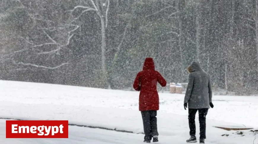
Snow flurries are expected tonight in Raleigh as an Arctic cold front moves into central North Carolina. Following a warm weekend, temperatures are forecasted to drop significantly, prompting the National Weather Service to issue warnings about potential frost and freezing conditions.
Forecast Details for Snow in Raleigh
According to the National Weather Service, there is a possibility of light snow and flurries after 10 p.m. on Monday, November 10. This precipitation is predicted to last for approximately one to two hours, primarily affecting areas north of Highway 64.
Accumulative Expectations
While the likelihood of snow accumulating on roadways is low due to warm ground temperatures, some flakes may be seen on grassy and elevated surfaces, particularly in the northern regions of the Piedmont. Meteorologist Phil Badgett noted, “It would just be kind of a novelty.”
Freezing Temperatures and Warnings
A freeze warning is in effect from 8 p.m. on Monday until 9 a.m. on Tuesday for central North Carolina, including Raleigh. Temperatures are expected to plunge into the mid-20s to around 30 degrees overnight. Wind chill will make these conditions feel even colder.
- High Temperatures on Monday: Mid-40s to lower 50s
- Low Temperatures Overnight: Mid-20s to 30 degrees
- Freeze Warning Duration: 8 p.m. Nov. 10 – 9 a.m. Nov. 11
Upcoming Weather Conditions
Tuesday’s forecast indicates sunny yet cold weather, with temperatures gradually rising. By Wednesday, November 12, conditions are expected to normalize, with highs in the upper 50s to low 60s. “It’ll rebound pretty fast,” said Badgett, emphasizing that this cold spell will be short-lived.
Residents are advised to protect their plants and unprotected outdoor plumbing from potential frost damage during the freezing temperatures tonight.
For more updates on weather conditions, stay tuned to Emegypt for the latest forecasts and news.


