


Polar Vortex Brings Season’s First Snow to New York Tri-State Area
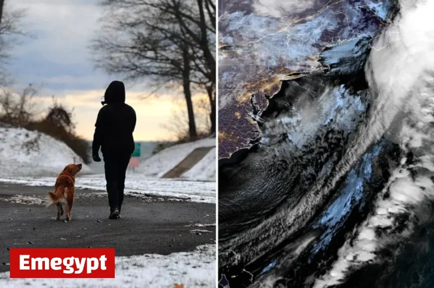
On Tuesday, New York City experienced its first snowfall of the season as a significant polar vortex affected the eastern United States. This winter phenomenon brought frigid air, resulting in an icy chill across the region.
Impact of the Polar Vortex
The ongoing polar vortex has introduced arctic air from Canada, impacting over 100 million individuals in the eastern U.S. The temperature highs are expected to remain in the low 40s, while wind chill factors will make it feel even colder, ranging from 25 to 35 degrees.
Weather Conditions
- Wind gusts reaching up to 40 mph
- Frost warnings issued in the tri-state area
- Daytime snow flurries observed in New York City
Despite the snowfall, forecasters do not anticipate significant accumulation. Scattered flurries began in the morning, giving residents an early sense of winter.
Warnings and Precautions
City officials have urged residents to prepare for potentially hazardous conditions. They recommend dressing warmly and exercising caution while walking, biking, or driving due to the likelihood of slick surfaces and frost on windshields.
The polar vortex not only signals the onset of winter but also serves as a reminder of the seasonal challenges that come with enough cold air to chill a vast population.


