


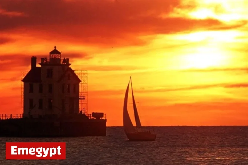
Rare Seiche to Trigger Hurricane-Like Storm Surge on Lake Erie
Residents living along the shores of Lake Erie are bracing for a rare meteorological phenomenon known as a seiche. This event is expected to create drastic fluctuations in water levels, prompting concerns for both safety and property.
Projected Water Level Changes
Forecasts indicate that tonight, water levels will vary by an alarming 11.5 feet (355 cm) across the lake. By 7 p.m. EST, residents in Buffalo, located on the eastern shore, may experience a surge of water rising by 5-6 feet. Conversely, Toledo, Ohio on the western shore will see a drop of 5-6 feet.
Understanding Seiches
A seiche is caused by strong, persistent winds that accumulate water on one side of a lake. As these winds shift, the water sloshes back and forth, creating rapid changes in water levels. This oscillation is similar to the motion seen in a bathtub when water is displaced. Seiches are especially pronounced on Lake Erie when winds blow from the southwest to the northeast.
Comparison to Hurricane Storm Surges
The impact of a seiche can resemble storm surges typically seen during hurricanes. While storm surges usually target specific coastal areas, seiches can affect both shores of the lake. During the winter, seiches can lead to dangerous conditions, with waves combining with snow and ice.
Historical Context and Examples
- The largest recorded seiche on Lake Erie was a 22-foot event that tragically resulted in 77 fatalities and temporarily halted Niagara Falls.
- A more recent 16-foot seiche in 2008 led to significant flooding and damage in Buffalo.
As authorities monitor the situation, residents are urged to prepare for possible flooding and stay informed about the evolving weather patterns affecting Lake Erie.


