


Snowstorm to Hit Metro Detroit Monday: Expected Amounts and Timing
Southeast Michigan experienced a significant snow event over the weekend, with many areas receiving between three to six inches of snow. The snow blanketed streets early Sunday, creating challenging driving conditions. Despite snow plow operations clearing most major roads, light snow showers on Sunday left untreated residential streets susceptible to refreezing overnight.
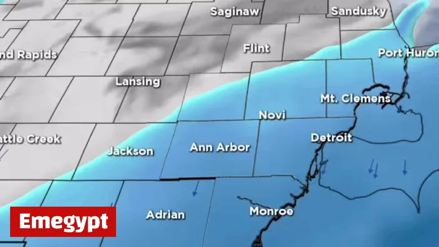
Weather Forecast for Metro Detroit
As temperatures plunge, drivers and pedestrians should be cautious of slick spots on Monday morning. Forecasts indicate that Monday will see increasing cloud cover with highs near 30 degrees Fahrenheit throughout Metro Detroit, while regions in the Thumb may only reach the upper-20s.
Upcoming Snowstorm
Another round of snow will arrive late Monday night, continuing into early Tuesday. Although this upcoming system is less powerful than the previous weekend storm, it is expected to bring an additional accumulation of approximately half an inch to two inches of snow.
- Monday night: Snow begins to fall.
- Tuesday morning: Expect slick road conditions.
Individuals commuting to work or school on Tuesday should plan for potential delays due to these conditions.
Midweek Weather Patterns
Tuesdays are predicted to remain cold, featuring highs around 30 degrees. Breezy and mostly cloudy weather will take over midweek, with a chance of light snow returning late Wednesday. Minor accumulation may occur in parts of the region.
Cold Air Arrival
A substantial push of cold air is projected late in the week. By Thursday and Friday, temperatures may struggle to achieve highs in the lower- to mid-20s in northern communities, while Metro Detroit could see upper-20s. Overnight lows are forecasted to drop into the teens, with single-digit temperatures possible in the Thumb and outlying areas.
Weekend Outlook
This week marks one of the coldest stretches of the season thus far. After the snow from the weekend, residents should be prepared for ongoing cold weather and a chance of light snow again from Friday night into Saturday morning. Highs will remain in the upper-20s to lower-30s through the weekend, keeping temperatures below normal for Southeast Michigan.
In summary, after a snow accumulation of three to six inches this past weekend, the region braces for another round of light snow and noticeably colder temperatures. Residents should remain cautious on the roads, especially during the Tuesday morning commute.


