Michigan Sees Up to a Foot of Snow in Some Areas

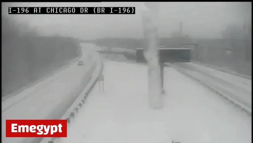
A significant winter storm impacted Michigan recently, resulting in substantial snowfall across various regions. According to the National Weather Service, certain areas received up to a foot of snow. The storm began late Saturday night and continued into Sunday, with further accumulations forecasted.
Snow Accumulation Across Michigan
In northern Michigan, snowfall totals reached nearly a foot in several locations. The following are notable snowfall measurements:
- Newaygo: 11 inches
- Wolf Lake: 11 inches
- Cloverville: 10 inches
- Roseville Park: 9.6 inches
- Woodville: 9 inches
- Sand Lake: 9 inches
- Millhome: 9 inches
- Cedar Springs: 8.5 inches
- Stanton: 8.5 inches
- Saint Louis: 8 inches
- Entrican: 8 inches
- Saint Charles: 7.8 inches
- Vestaburg: 7.5 inches
- Fremont: 7.3 inches
- Midland: 7 inches
- Bay City: 6.6 inches
- Big Rapids: 5.8 inches
Southeast Michigan Snowfall
Southeast Michigan recorded lesser snowfall, with totals reaching nearly half a foot in some areas. Here are the specific amounts:
- Lake Orion: 6.1 inches
- Owosso: 6 inches
- Grand Blanc: 6 inches
- Chelsea: 5.8 inches
- Ann Arbor: 5.7 inches
- Waterford: 5.7 inches
- Ypsilanti: 5.2 inches
- Dearborn Heights: 4.6 inches
- Royal Oak: 4 inches
West Michigan’s Heavy Snowfall
West Michigan was severely affected too, with many locations exceeding a foot of snow. Here are some key totals:
- Paw Paw Lake: 13.5 inches
- Hudsonville: 12 inches
- Holland: 12 inches
- Spring Lake: 12 inches
- Marshall: 10.5 inches
- Grand Rapids: 9 inches
Future Weather Expectations
The forecast indicates that additional snowfall is likely for Sunday morning and into Monday. Residents are advised to remain cautious while traveling during these winter conditions.
This builds upon the already challenging winter driving situation across Michigan. Staying updated with local weather reports will be crucial as the winter storm progresses.


