


Snow-Covered Roads Challenge Travel Through Sunday: First Alert Forecast
Winter weather conditions are set to challenge travel in the Fort Wayne area through the weekend. The National Weather Service has declared First Alert Weather Days for Saturday and Sunday due to a significant winter storm.
Winter Storm Timeline
Travel woes are expected to persist over the weekend, with notable weather developments:
- Saturday Evening to Sunday Morning: Widespread snow will create hazardous travel conditions, with nighttime temperatures dropping to the mid-20s.
- Sunday: Expect scattered lake effect snow in the morning. While travel conditions should improve during the day, a refreeze is possible by evening, with highs expected in the low 30s.
Snow Accumulation Estimates
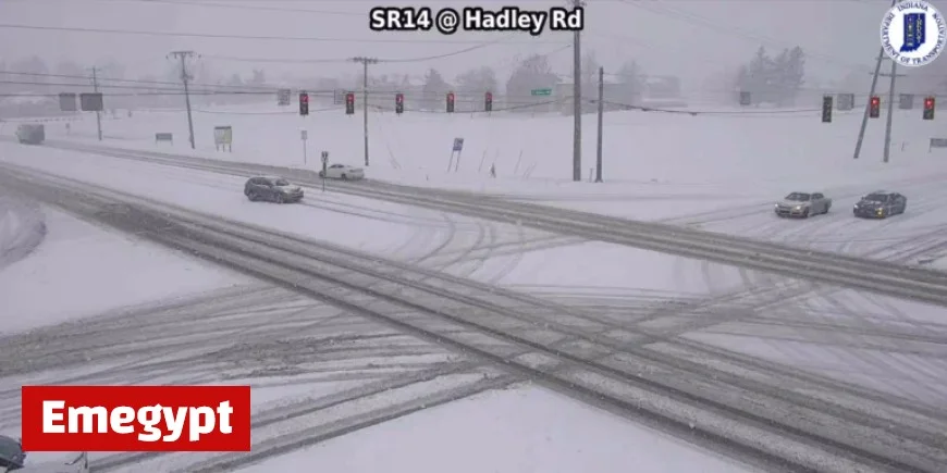
As of Saturday afternoon, the region has already recorded snow accumulations of 1-3 inches in various locations. The most intense snowfall is anticipated to continue into the evening.
Projected Snow Totals
Forecasts indicate varying snow totals across the region:
- Along US 24, including Fort Wayne: Expected totals of around 6 inches or more by Sunday night, a slight increase from earlier predictions.
- North of US 24: Likely totals of 6-8 inches or more, with some areas around South Bend potentially receiving up to 10 inches.
- South of US 24 to US 224: Anticipated totals of 4-6 inches, while areas further south could see 2-4 inches, though rainfall may disrupt snow accumulation in these regions.
Weather System Dynamics
The movement and characteristics of this winter weather system will greatly influence snow distribution and totals across northeastern Indiana and northwestern Ohio. As temperatures fluctuate and drier air infiltrates the area, some precipitation may mix with rain, affecting overall accumulation.
Preparation for travel and awareness of potential road hazards are strongly recommended as conditions evolve over the weekend. Stay updated with local forecasts for the latest information on the winter storm’s impact.


