


NASA Satellite Maps Massive Pacific Tsunami’s Geometry
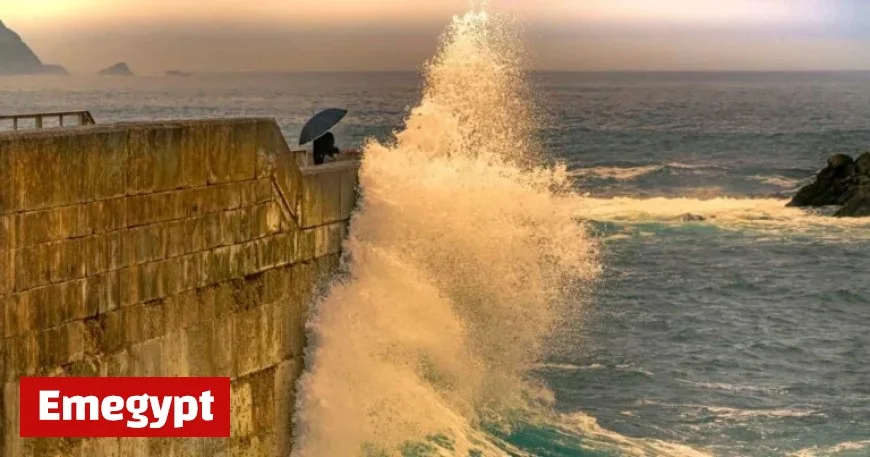
On July 30, 2023, a massive tsunami impacted the Kuril-Kamchatka Peninsula in Russia, triggered by an 8.8-magnitude earthquake. This earthquake struck at approximately 23:47 UTC, with the tsunami following about 70 minutes later. Scientists are studying the wave dynamics and geometry stemming from this significant seismic event.
Nasa Satellite Maps Massive Pacific Tsunami’s Geometry
A recent study published in GeoScienceWorld’s The Seismic Record used satellite data to analyze the tsunami’s characteristics. Researchers focused on a 75-mile area of the Northwest Pacific. The study emphasized how the geometry of tsunami waves influences their hydrodynamics and severity.
Details of the Earthquake and Tsunami
- Event Date: July 30, 2023
- Magnitude: 8.8
- Location: Kuril-Kamchatka Peninsula, Russia
- Time of Earthquake: Approximately 23:47 UTC
- Time of Tsunami Arrival: 70 minutes after the earthquake
- Wave Heights: Exceeding 1.5 feet
This earthquake ranks as the sixth-largest since 1900. The study’s aim was to analyze wave heights, rupture geometries, and how these elements govern tsunami behavior. Typically, deeper ocean waves grow significantly as they reach shallower coastal regions, presenting unique challenges for prediction and monitoring.
Importance of NASA’s SWOT Satellite
The ability to conduct this analysis was made possible by NASA’s Surface Water and Ocean Topography (SWOT) satellite, developed in collaboration with a French space agency. SWOT provides detailed data on ocean waves and their energy spectrum. This information was combined with data from deep-ocean assessment and reporting of tsunamis (DART) buoys.
- DART Buoys: Equipped with seafloor pressure recorders
- Function: Calculate water pressure and monitor tsunami characteristics
The data from SWOT revealed the complexities of the tsunami’s waves, which were influenced by the ocean’s bathymetry. Notably, a wave moving north of 50 degrees split into multiple pulses while interacting with steep underwater slopes.
Advancements in Tsunami Research
Lead author Ruiz Angulo from the University of Iceland highlighted SWOT’s impact on tsunami research. He noted that this technology provides a clearer picture of tsunami dynamics than previous methods could achieve. Prior to SWOT, the DART systems offered only a limited view of tsunami behavior, focusing on specific points.
Now, with SWOT’s capabilities, researchers can attain comprehensive data coverage. This advancement opens new avenues for developing hazard models and understanding how various tsunami features interact.
The July 30 tsunami not only unveiled new insights but also reactivated certain ruptures from past seismic events, reminding us of the ongoing geological processes beneath the ocean’s surface.


