


Double Alberta Clipper Storms to Blanket Up to 10 cm of Snow by Wednesday Night
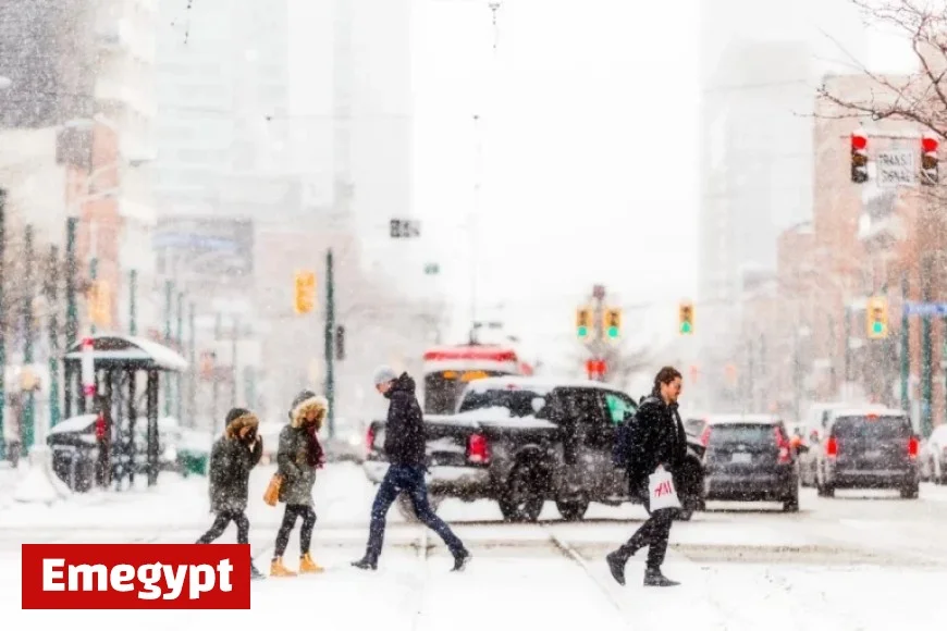
Two Alberta Clipper storms are poised to affect the Greater Toronto Area (GTA), potentially leaving up to 10 centimetres of snow by Wednesday night. The first system will arrive on Tuesday afternoon, bringing light snow accumulation of between 1 to 3 centimetres.
Weather Forecast: Impending Snowfall
As the day progresses, winds will increase, reaching gusts of 50 to 55 kilometres per hour. This will likely cause blowing snow conditions. Areas like Kitchener and Cambridge may see slightly more significant snowfall of about 4 to 5 centimetres.
Second System Arriving Wednesday
Following the initial snowfall, the second Alberta Clipper will arrive after midnight on Tuesday, continuing throughout Wednesday. Motorists should prepare for a challenging commute on Wednesday morning as heavier wet snow will be prevalent at the start of the day.
Initially, the second system will bring wet snow, but rain may mix in along the lakeshore around midday. Locations north and east of Toronto are expected to receive primarily snow, with conditions as follows:
- South GTA: An additional 3 to 6 centimetres of snow.
- North GTA: Expected to receive 4 to 8 centimetres, with localized amounts nearing 10 centimetres.
Potential for Icy Conditions
As temperatures drop to -6 degrees Celsius on Wednesday night, colder northwest winds may result in icy surfaces on untreated roads and sidewalks. Drivers should exercise caution during this period.
Looking Ahead: The Coldest Air of the Season
Following the two Alberta Clippers, the GTA may experience the coldest temperatures of the season this weekend. On Sunday, temperatures are set to decrease steadily, reaching -9 degrees Celsius by noon and plummeting to -14 degrees Celsius by evening, not factoring in wind chill effects.
Understanding Alberta Clippers
An Alberta Clipper is a fast-moving low-pressure system originating from Alberta. It typically travels across the Plains and Great Lakes region during winter, bringing light snow, strong winds, and colder temperatures.


