


Ontario braces for mid-week snowstorm with 5-15 cm expected from two weather systems
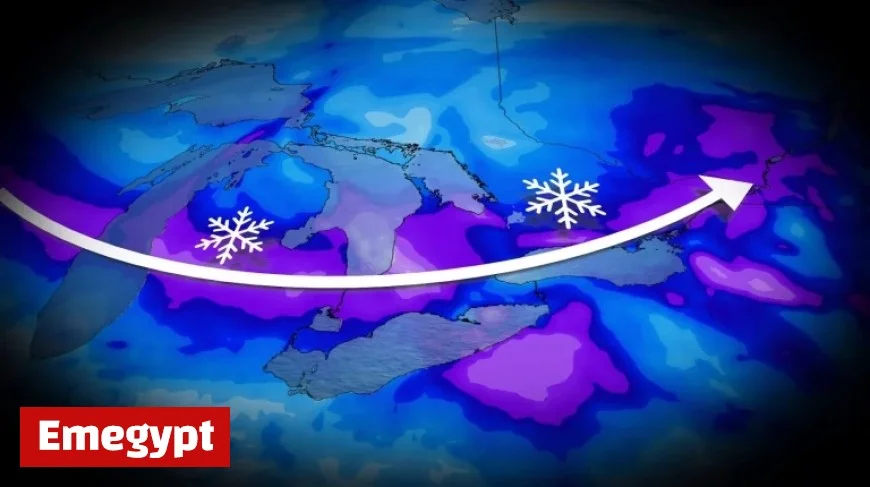
Ontario is preparing for significant snowfall this week as two clipper systems are set to deliver between 5 and 15+ cm of snow. These systems will impact various regions, with additional lake-effect snow anticipated in southern Ontario.
Weather Forecast Overview
The wintry conditions this December are characterized by frigid temperatures and multiple snow events. Areas in Ontario will likely experience snowfall ahead of the official start of winter.
Snowfall Predictions
- Light snow is expected on Tuesday from the initial weather system.
- Heavier snowfall is forecasted to begin Tuesday night into Wednesday, led by a stronger clipper system.
- Lake-effect snow is projected to affect communities southeast of Lake Huron and Georgian Bay later in the week.
Current Weather Conditions
This week commenced with extremely low temperatures, marking the coldest daytime highs in over nine months. Cities like Toronto and Ottawa are seeing temperatures significantly below seasonal averages.
The initial clipper moving in from the Prairies will bring a quick burst of snow, with estimated accumulations of 2-5 cm throughout Tuesday. Blustery winds may cause blowing snow, making travel hazardous in some areas.
Impact of the Second Clipper System
The second clipper system, arriving Tuesday night, will carry moisture from the Pacific. This system could enhance snowfall amounts while slightly moderating temperatures across the region.
For residents, staying updated on changing forecasts is essential. Monitoring local alerts and weather conditions will be crucial as this winter storm progresses.


